Werbetal rock landscape: New leaflet from the GrenzWelten Geopark
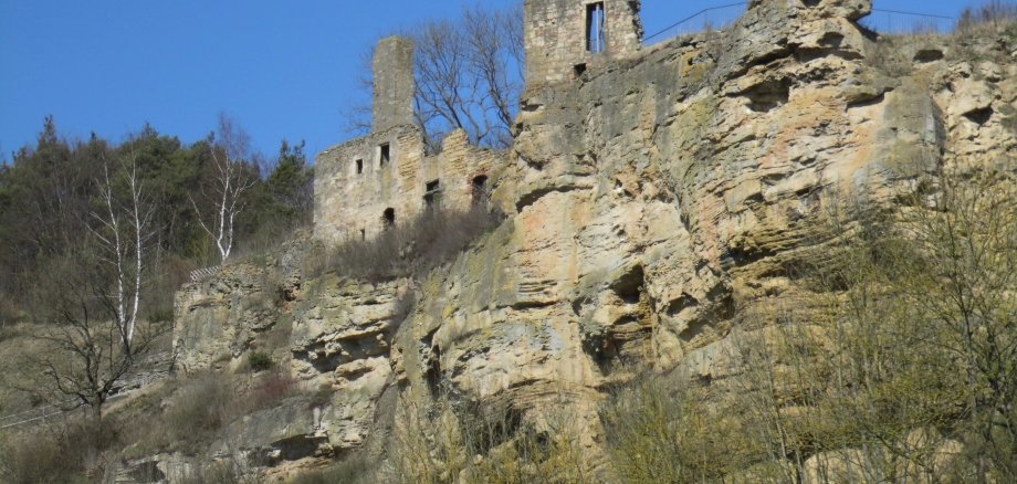
If you are travelling on the road from Alraft to Ober-Werbe, you can see them from afar: the impressive rock formations of the Werbetal valley, especially the towering Langenstein. How did these formations come about? Which geotopes can be admired there? And which destinations in the area of these imposing rocks are particularly worth a visit?
The answers to these questions can be found in the new information leaflet "Felslandschaft Werbetal - Auf den Spuren des Zechsteinmeers", published by the GrenzWelten National Geopark. The leaflet is available free of charge, can be downloaded from the Geopark's homepage, can be ordered from the project office and is available in many public places, e.g. tourist information centres and municipal administrations. The Geopark was supported in the production of the information brochure by the Waldeck Citizens' and Tourism Office. There you can find out about other leisure activities in the region around Lake Edersee.
The "Werbetal rock landscape" takes us back to 255 million years ago, to the Upper Permian period, when the Werbetal valley was located in the coastal area of the so-called Zechstein Sea. Under the special climatic and geological conditions, carbonate sediments were deposited in the Werbetal at that time. This gave rise to dolomite rocks into which the river Werbe has cut deep over the past millions of years. The result is steep cliffs such as the Langenstein or the rock face on which the monastery ruins above Ober-Werbe are enthroned.